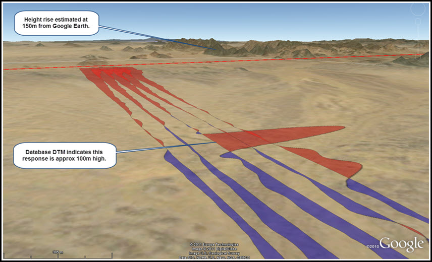
Data QC is critical in any geoscience discipline. Care must be taken that data processing and filtering not create false responses. Initial data review should identify and remove problematic data before further processing.
In this example fixed-wing radar altimeter data became noisy when ascending to clear topography and was not noisy on the descent. The noisy data was not dealt with properly and when it was subsequently filtered the data noise “appeared” as signal and a significant topographic feature appeared in a very unlikely location. The false topographic feature was then incorporated into an EM data conductivity depth image (CDI) section which then could have been misleading to users of the results.
Data such as NASA’s SRTM topographic data and services such as Google Earth or Bing maps are very useful for corroborating topographic data collected during airborne geophysical surveys.

