GEOPHYSICS CONSULTING
Maximizing geophysics integration and interpretation in3D
Magnetics
Gravity
IP/Resistivity
Radiometrics
Magnetotellurics
Electromagnetics
Geophysical Services
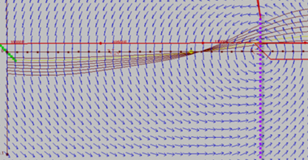
QA/QC Data Processing & Visualization
Geophysical surveys are a long term investment and data quality is critical for confidently interpreting the results.
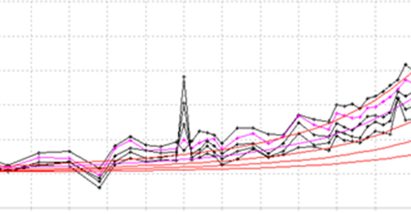
Data Modelling
Geophysical data modelling is performed in either 2D or 3D and numerous enhancements can be achieved from individual data sets or combinations.
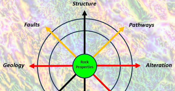
Rock Property Contrasts: Geology
Geophysical measurements are directly related to geology, mineralization and alteration and linked through physical rock properties.
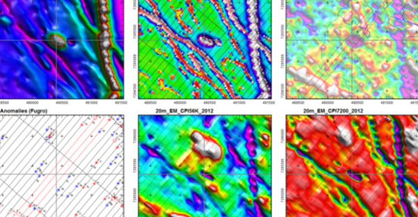
Data Interpretation
Data interpretation is a process that benefits from collaboration between geoscience disciplines.
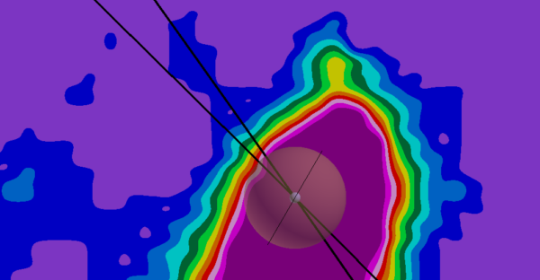
Targeting & Drilling
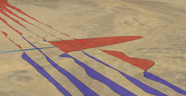
Targeting and drill hole planning are conducted using a combination of 2D and 3D maps.
Experience Highlights
*Since 2010
in3D Geoscience Inc. was founded in 2010 by Todd Ballantyne, P.Geo. to offer geophysical consulting services. Mr. Ballantyne has 38 years of Canadian and International mineral exploration experience.
in3D strives to maximize each client’s ability to integrate, visualize, interpret and extract value from their exploration data in3D. The goal is professional service that provides geophysical interpretation and recommendations communicated in an effective and understandable manner.

